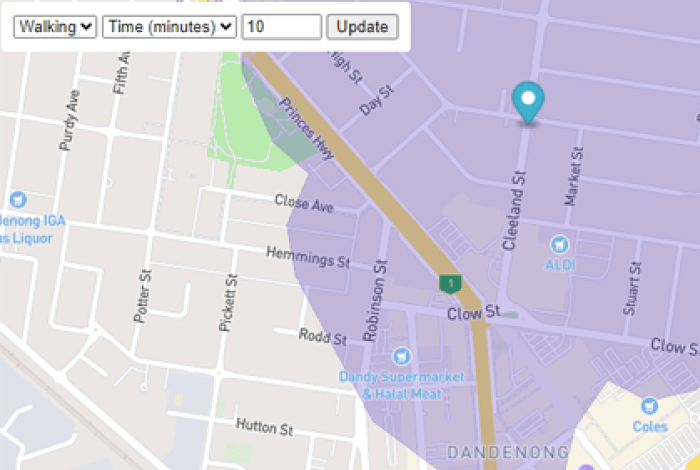
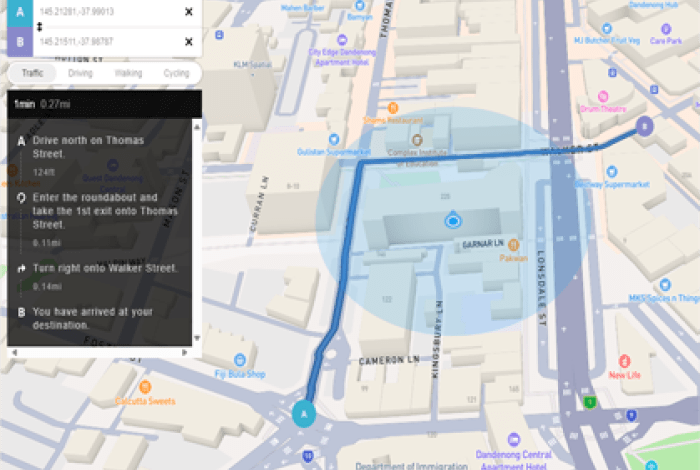
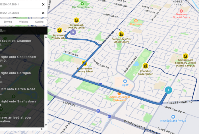
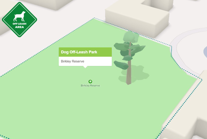
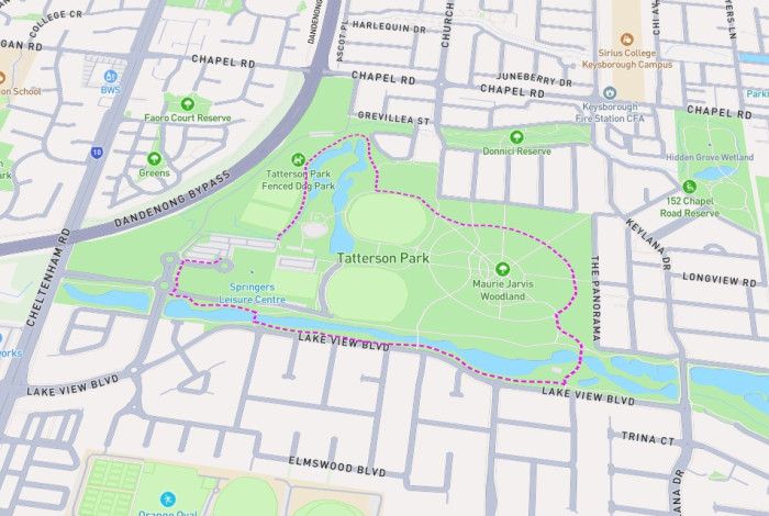
🛰️ GIS Systems Status and UpdatesIntramaps Systems OperationalMapbox Maps OperationalExternal Maps Operational Enterprise Maps and Tools Intramaps (Full) Intramaps Intramaps (Lite) Intramaps Lite Isochrone Map Isochrone Map Navigation Map Direction Navigation Map Electoral Boundary Map Electoral Boundary Map School Crossing Map School Crossing Navigation Community Maps Dog off Leash Park Map (beta) Dog of Leash Map (beta) Walking Trail Map (beta) Walking Trail Map Coming Soon Infrastructure Services Public Lightings Map Public Lightings Map ELCMP Map ELCMP Map CIP Projects CIP Projects Event Sites Event Sites Map Environment and Climate Action NVPP NVPP Map External Maps & Dashboards VicPlan Map VicPlan Map DTV Digital Twin Victoria NationalMap NationalMap is an online map-based tool that allows easy access to location-based data from Australian government agencies LGA Profiler (Dashboard) https://thesource.greaterdandenong.vic.gov.au/vista-lga-profiler Travel by Time of Day (Dashboard) https://thesource.greaterdandenong.vic.gov.au/vista-summary-vista-travel-time-day Journeys to Education Destination (Dashboard) https://thesource.greaterdandenong.vic.gov.au/vista-summary-vista-journeys-education-destinations Journey to Work (Dashboard) https://thesource.greaterdandenong.vic.gov.au/vista-summary-vista-journeys-work-destinations Summary of VISTA Trips https://thesource.greaterdandenong.vic.gov.au/vista-summary-vista-trips On